Gunnerside Gill Walk
Gunnerside Gill, up on to Reeth Moor, back to Gunnerside
6.5 Miles,
1946m Assent,
Approx. 3 hours
Easy / Moderate
Yesterday was a beautiful, crisp winter day, and I wanted to get out into the wild and appreciate all we have around us.
I fancied putting the OS Maps app to the test - the app is available for our cottage guests, but I had never actually used it myself!
From past experience, I know that we cannot use the app without phone signal, which is quite often the case in Swaledale. We can, however, download and save maps and routes, which can be viewed with no signal. So, with a bit of planning, that’s exactly what I did!
I first searched for routes via the app that other users had uploaded. There’s so many in Gunnerside, but not the exact route I was intending to explore - so I set out on my own route. A few taps on the screen and the route finder clings to the best paths to use; and voila, my walking trail begins! 6.5 miles to be precise, with 1946m of ascent.
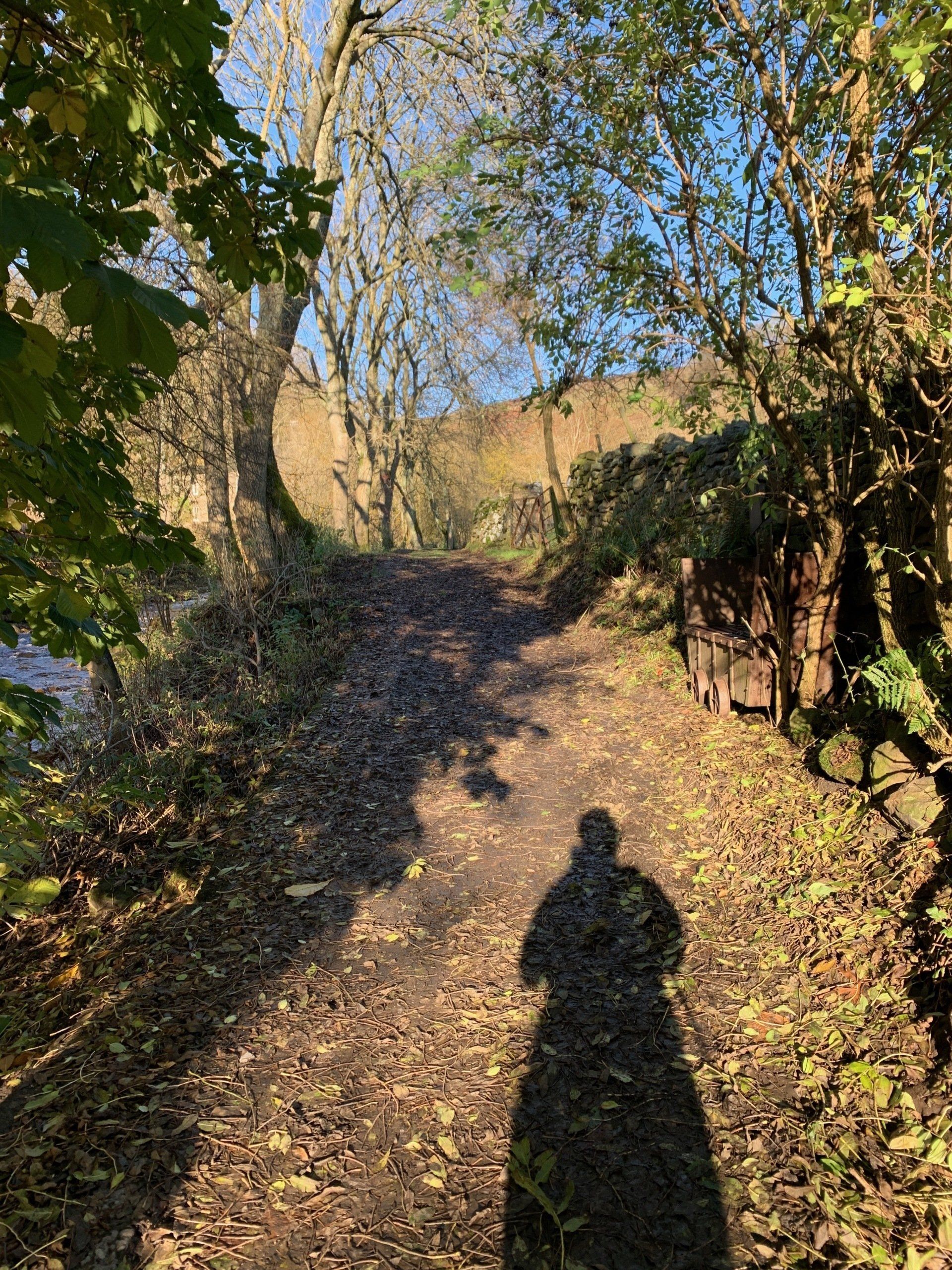
It is a bright, clear day. I drive up to Gunnerside and park in the village centre, taking the footpath up the side of Gunnerside beck, just opposite the pub. I start my app so that it can track my progress.
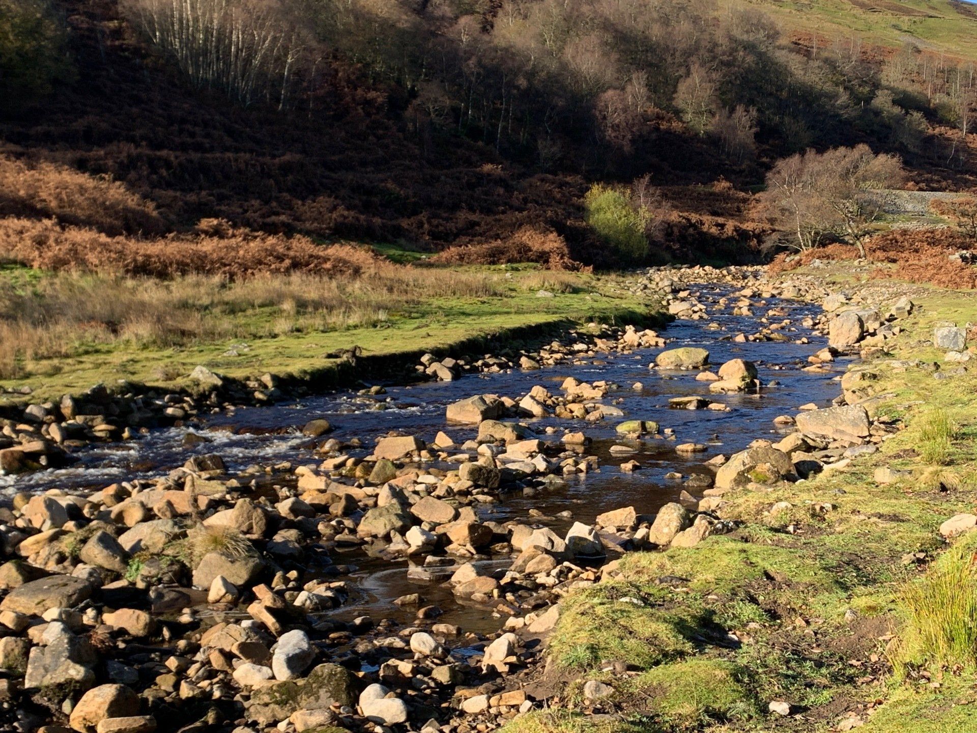
The first few hundred meters follows the beck side of the trees and contaisn muddy, leafy paths. It’s been frosty overnight and the ground hasn't quite thawed out just yet. I love walking at this time of year, with all the smells of the woodlands and sound of the beck in full flow!
It’s a very gradual up-hill amongst the trees - just enough to remind me how unfit I am! It didn’t seem like much of an incline, but my goodness I’m feeling it.
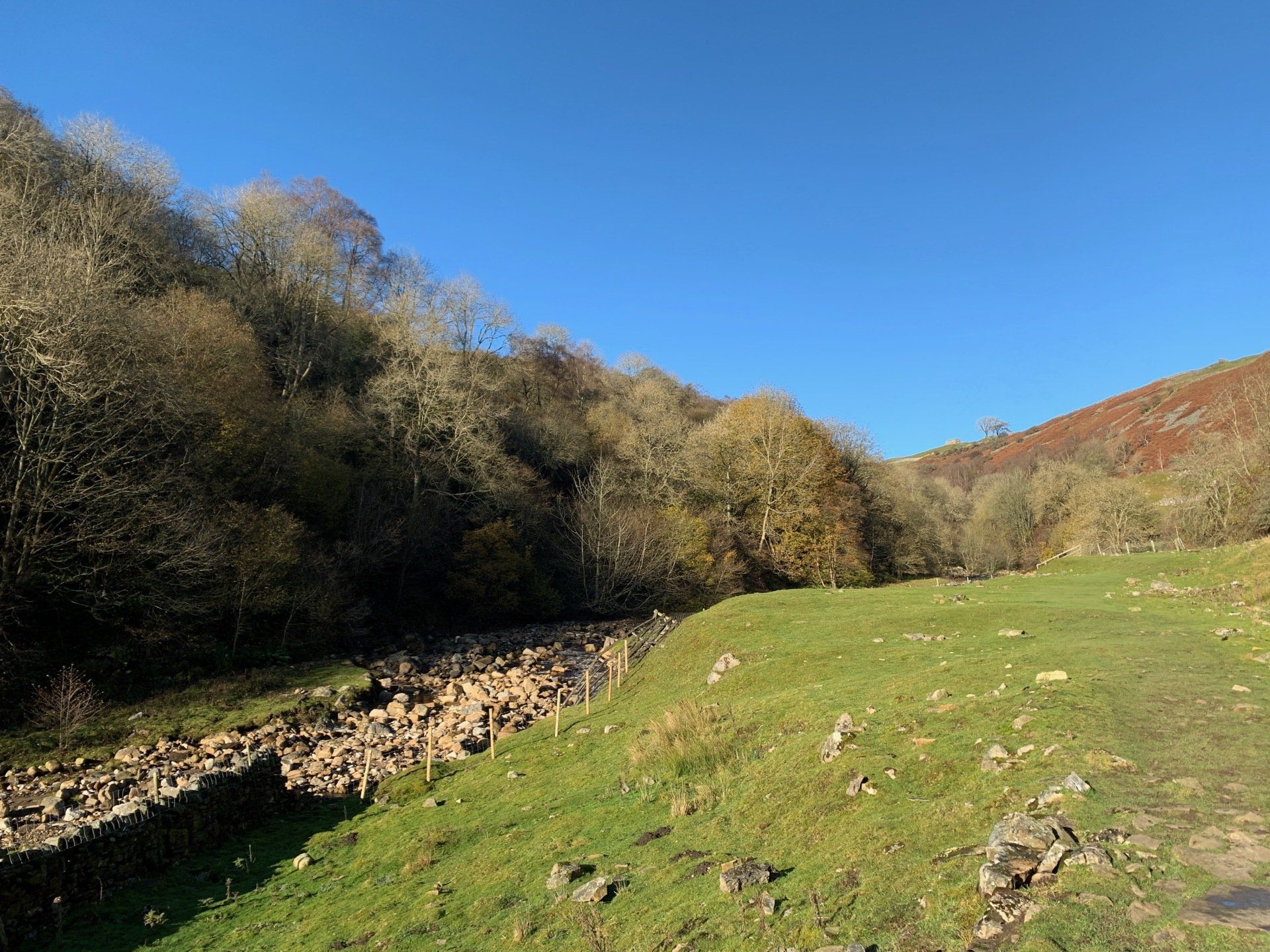
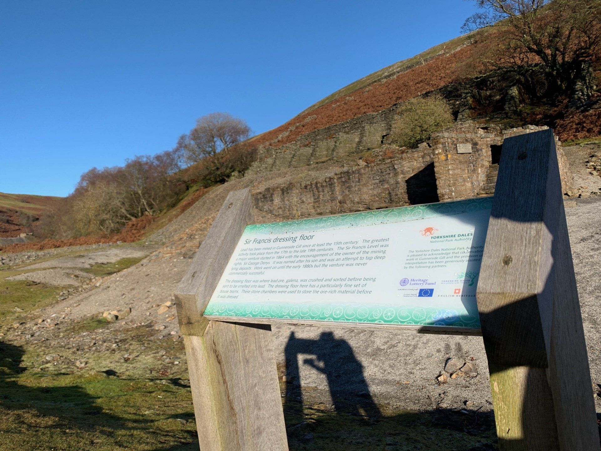
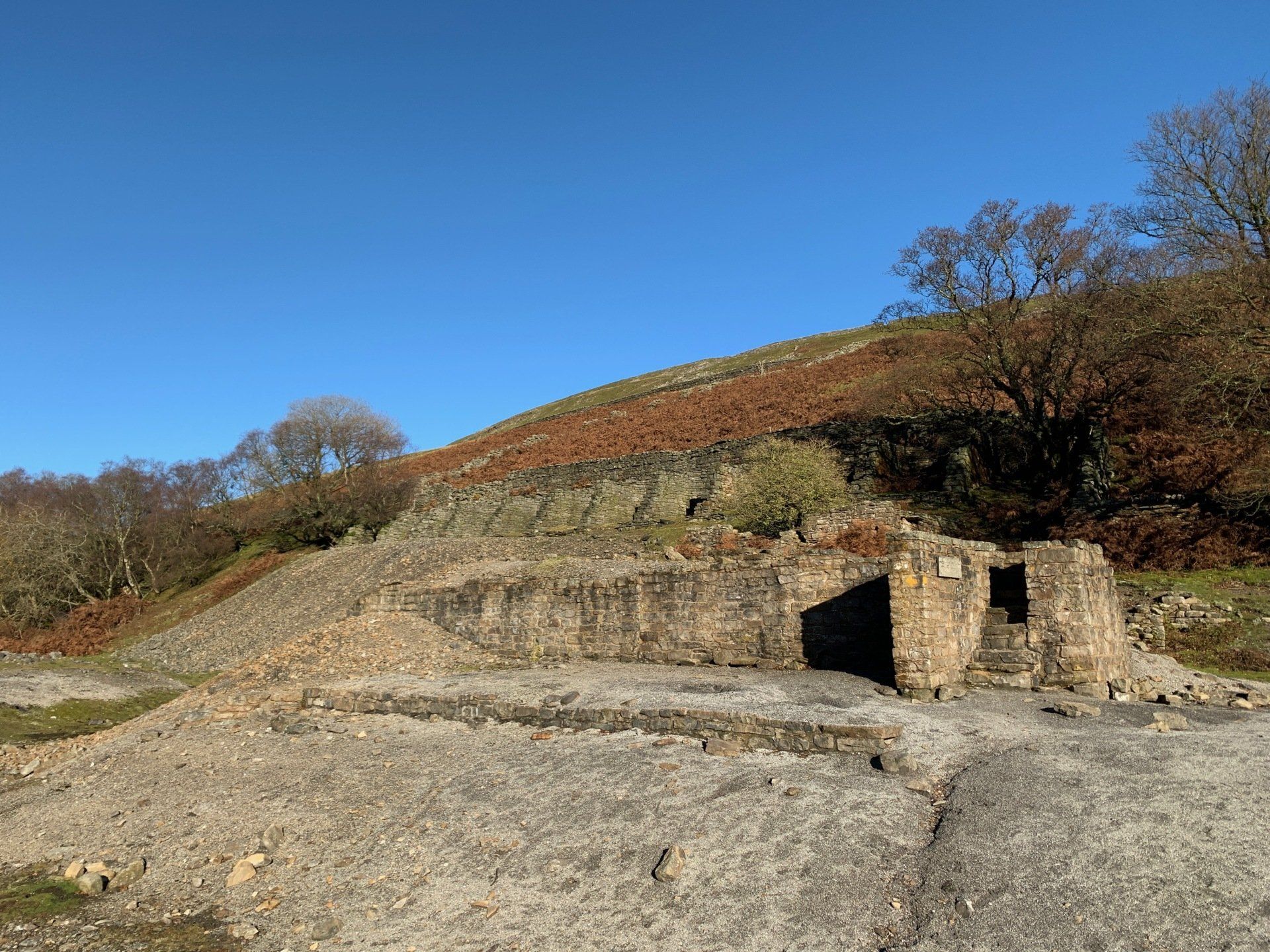
The footpath is easy to follow, and I am up and out of the woods in no time. The land suddenly widens and opens up to flat grassland with rocky beck sides. A little further up, you can find the broken remains of many lead mining buildings. “Sir Francis Level dressing floor” is the first one that meets us coming up the Gill, and is a stark reminder of the industry that preceded our time here.
From the flat down at the beck side, the footpath starts to climb higher up the steep Gill side. I’m now on unknown territory! A quick check of my OS Map and I see I’m still on the right footpath. I pass more broken down lead mining buildings, this time high up on the gill side, surrounded by spoil heaps. The other side of the gill is similarly dotted with old industrious buildings surrounded by spoil. Oh, the stories they could tell!

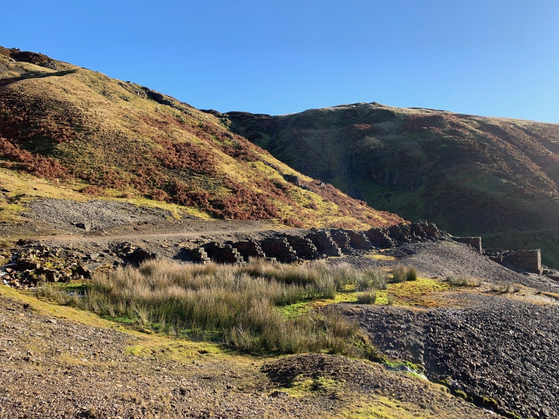
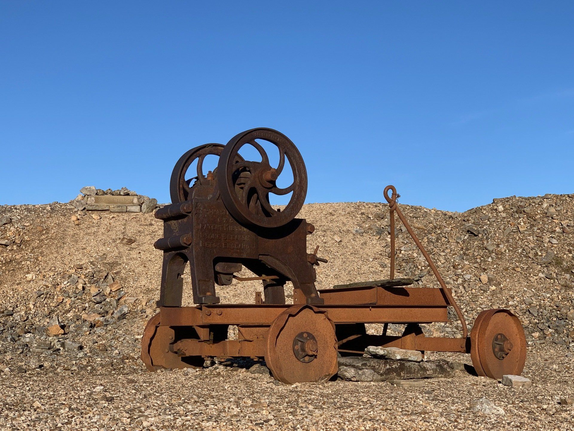
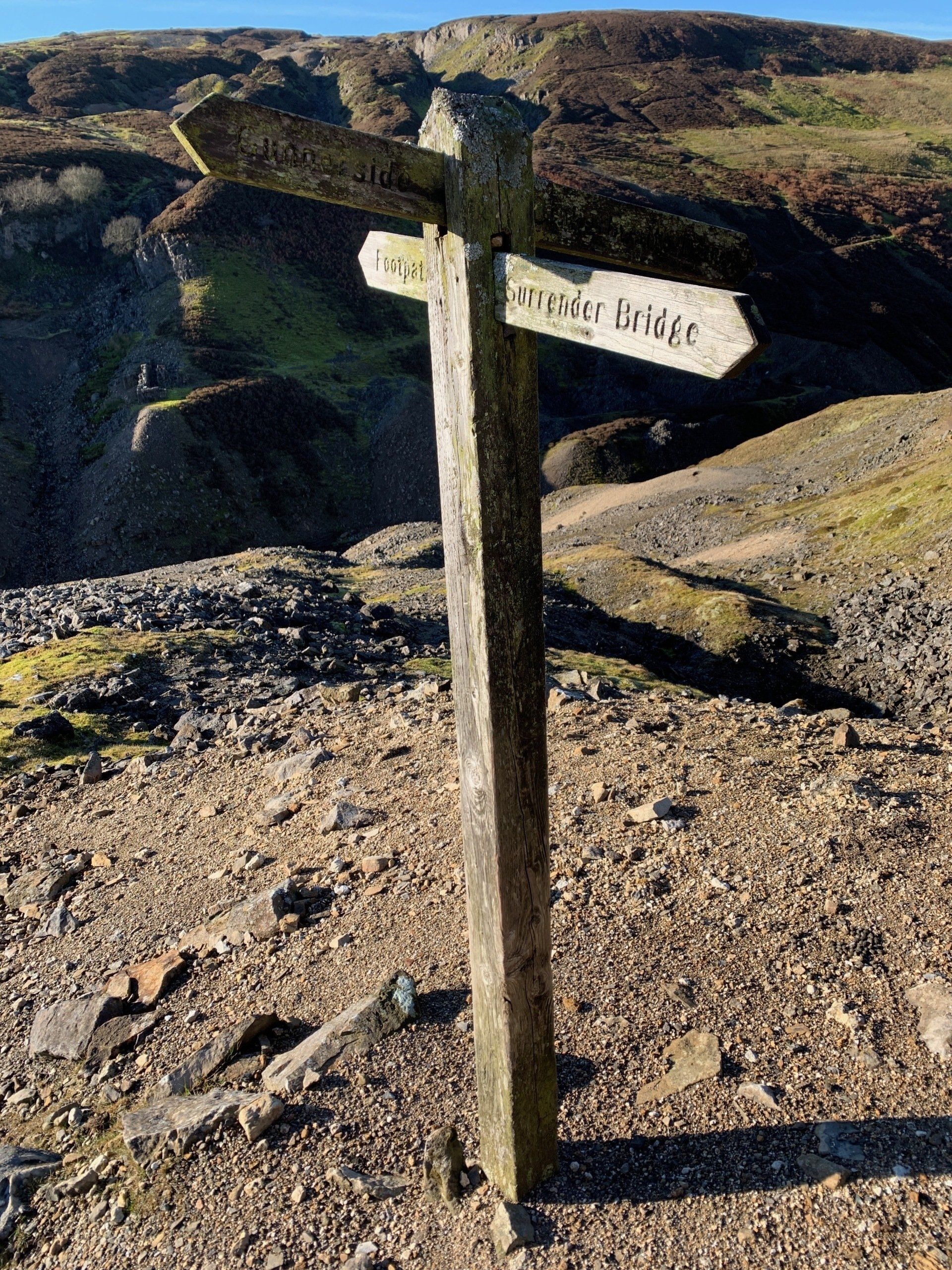
Here I discover a 4-way footpath sign. Which way do I go?! Out comes the app again: straight on, heading up. Soon I am following a track that curves back upwards to the moor track. I now know where I am again! I follow the moor track along from the top of Gunnerside Gill, back down towards Melbecks and Merry Field. I love this little area - we came up here on our wedding day to have photos taken next to the old stone crusher.
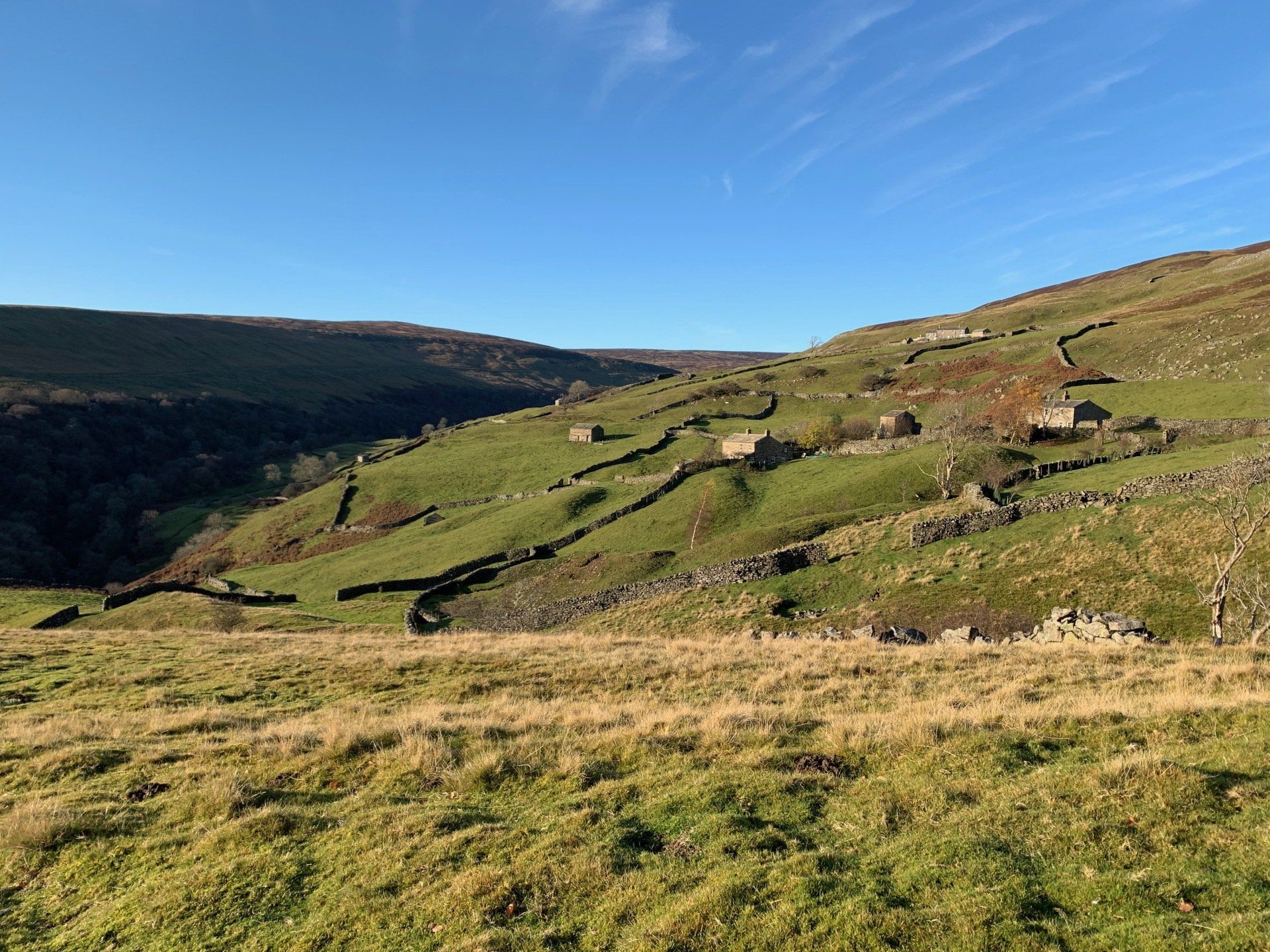
I follow the moor track just past merry field grouse butts, before taking a right and following the track through the sheep fold and onto Brownsey Moor. The view from here is the best on the entire walk. Just wow! And now it's down hill, all the way to the pub…
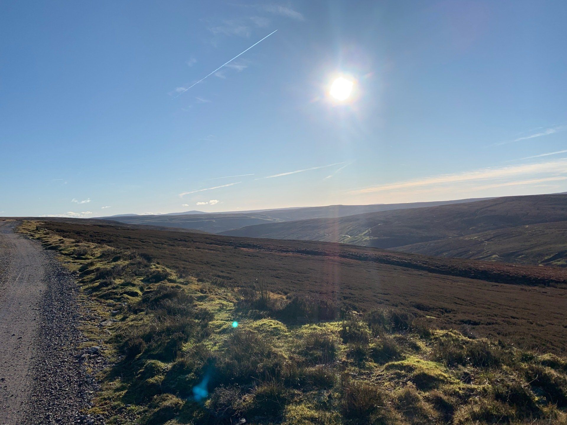


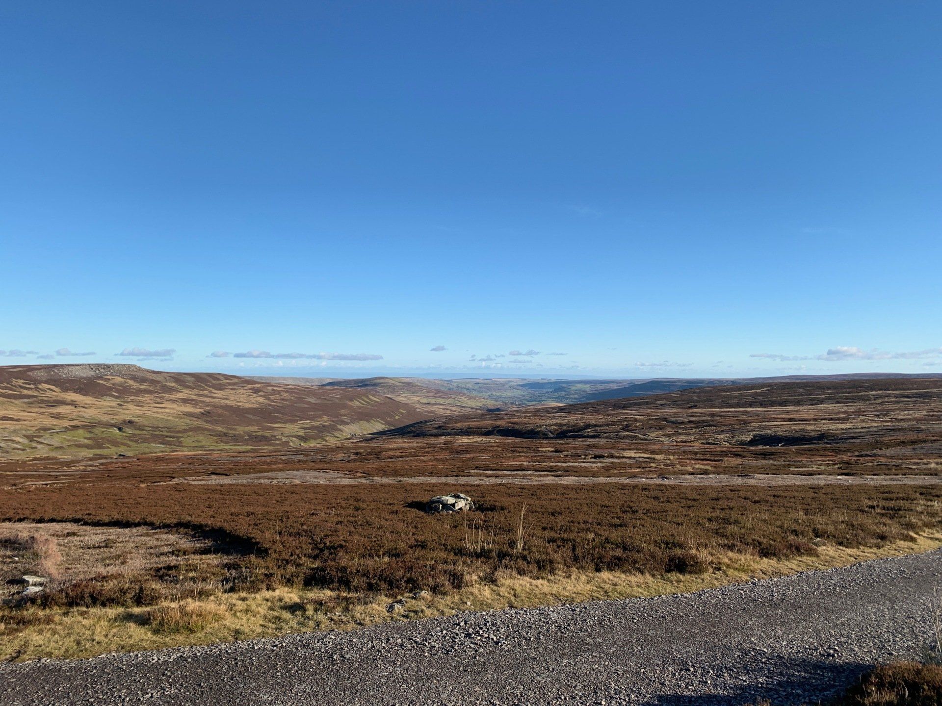
Another look at the OS app and I see it is only 2 miles back to Gunnerside. From here I can see Healaugh Crag, Old Gang lead mines and buildings, Calver Hill, Arkengarthdale, most of Fremington Edge, and Marrick Priory. I stand back for a while and take it all in. On a day like today,it is hard to put into words how spectacular the scenery is up here! Our beautiful little dale fills me with awe.
I stick to the moor track as it turns from a well-maintained, hard core track, to a grassy track that has previously been used for vehicles. Nevertheless, it guides me back down the hill side towards Gunnerside, sun beating into my eyes as I walk.
The sight of the village is a welcome one, especially as I can see the only smoke coming from a chimney at the pub … right where I’m headed for a hot coffee and a slice of cake!
The walk in total took me almost 3 hours. I certainly wasn’t going fast, and was repeatedly stopping to take in the scenery around me. I wouldn’t say it was a strenuous walk; gradually climbing for 3.5 miles on small, sometimes slippy footpaths, until I reached the moor tracks at the top of the gill. From there it was much easier walking, and finally downhill all the way back to the village. If the walk was to be done in the opposite direction, it would be much harder!